
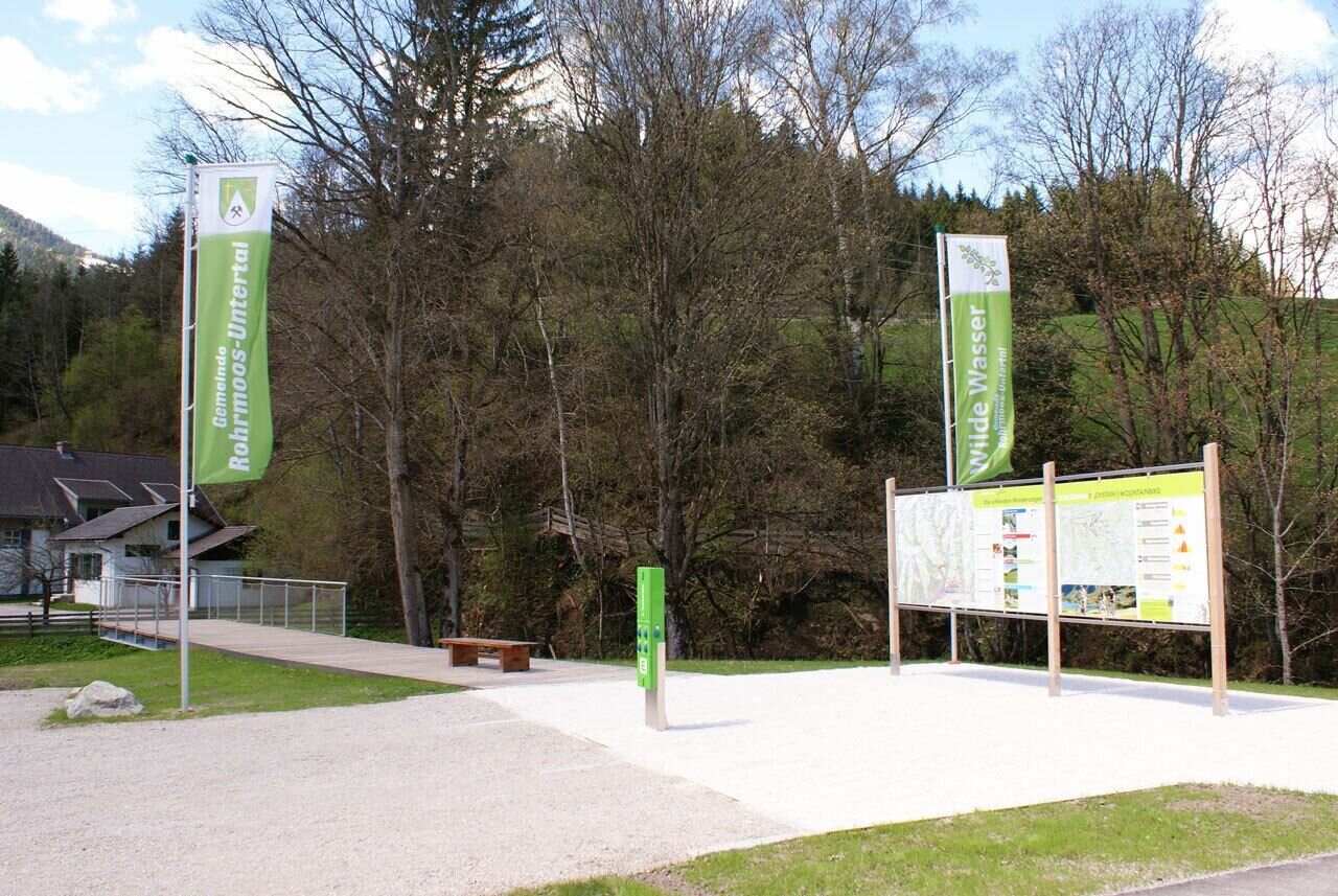
2-days tour: Wild Waters
difficult Hiking · Schladming
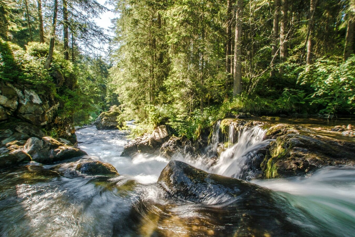
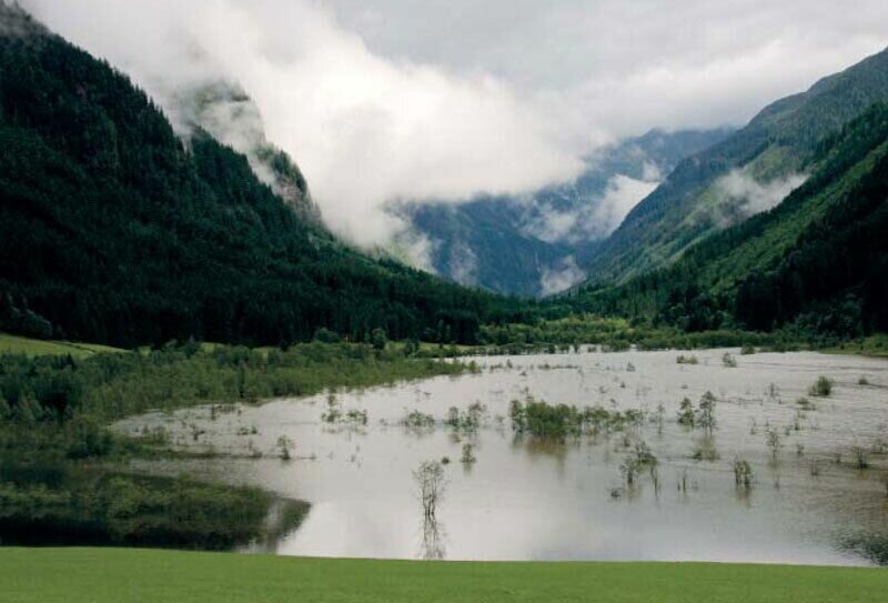
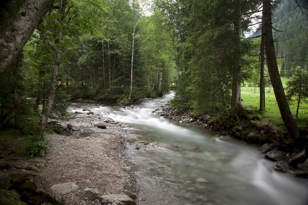
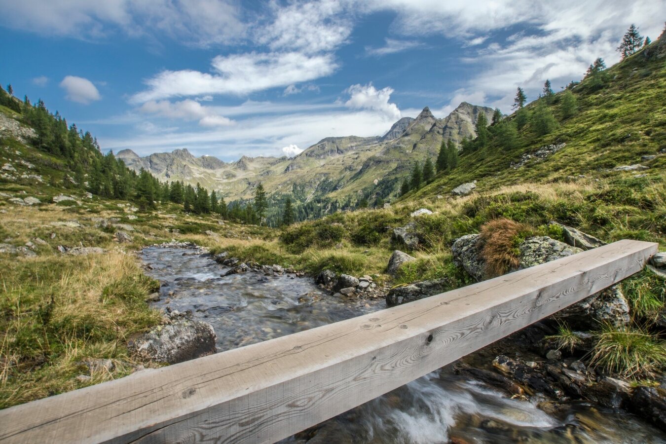
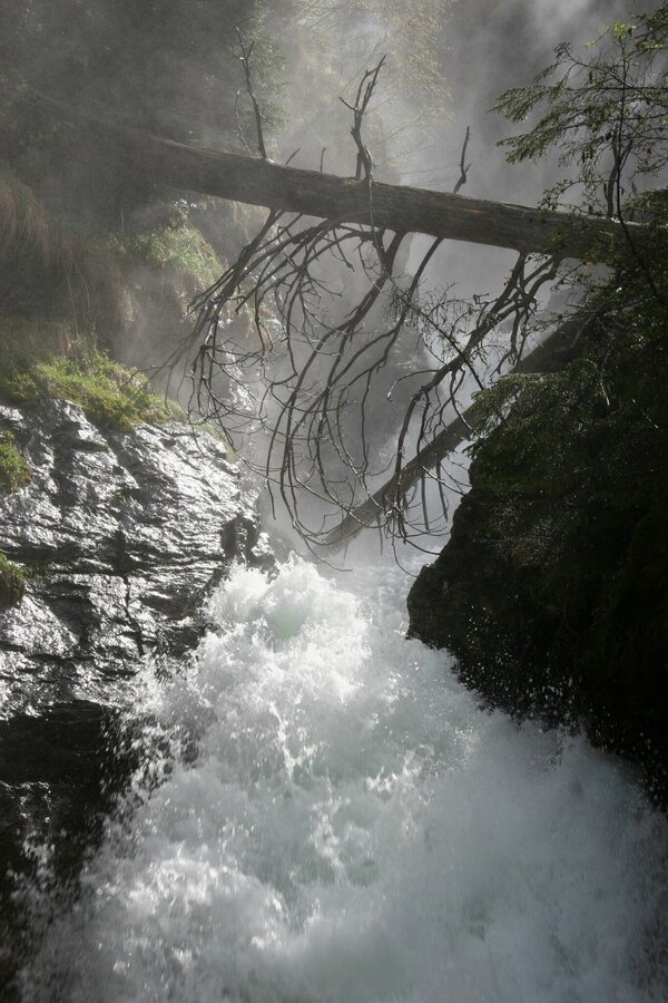
From Schladming to deep into the Untertal area of Rohrmoos, up to an elevation of 2600 m above sea level – this is the path taken by one of the world’s most extraordinary hiking trails. 14.5 kilometers of “Wild Waters” illustrate our most precious natural resource in all its facets – from quietly glistening and crystal-clear, to thunderously frothing and foaming, in freefall over the rocks of the Schladminger Tauern.
The first day takes you into Untertal valley on forest and meadow trails along the theme trail Wild Waters. The second day takes you up into alpine terrain on narrow trails in exposed terrain. There are many refreshment stops along the way to take a rest and to get a snack or a full meal.
Highlights:
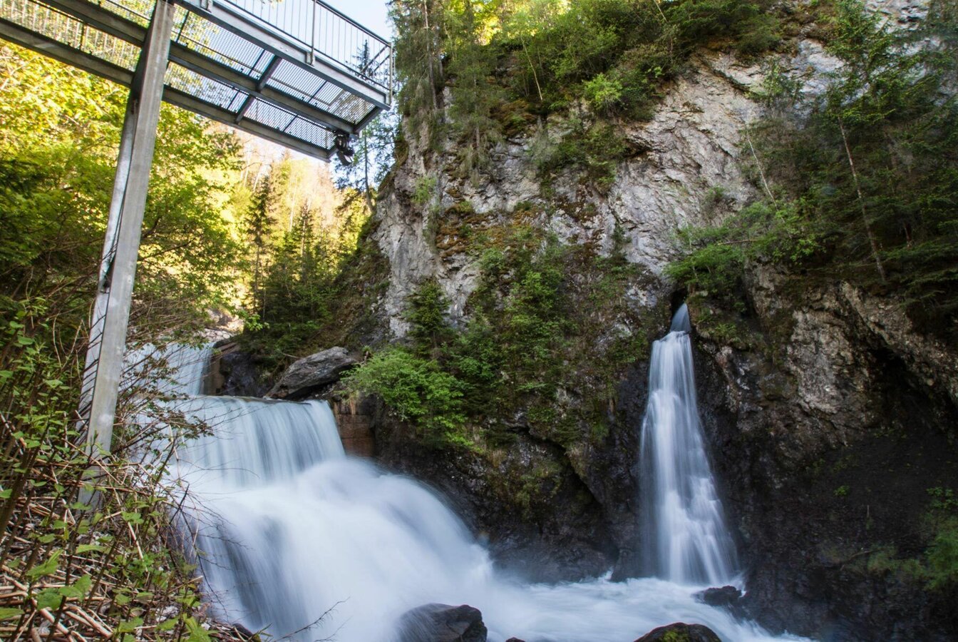
- Talbachklamm gorge with viewing platform
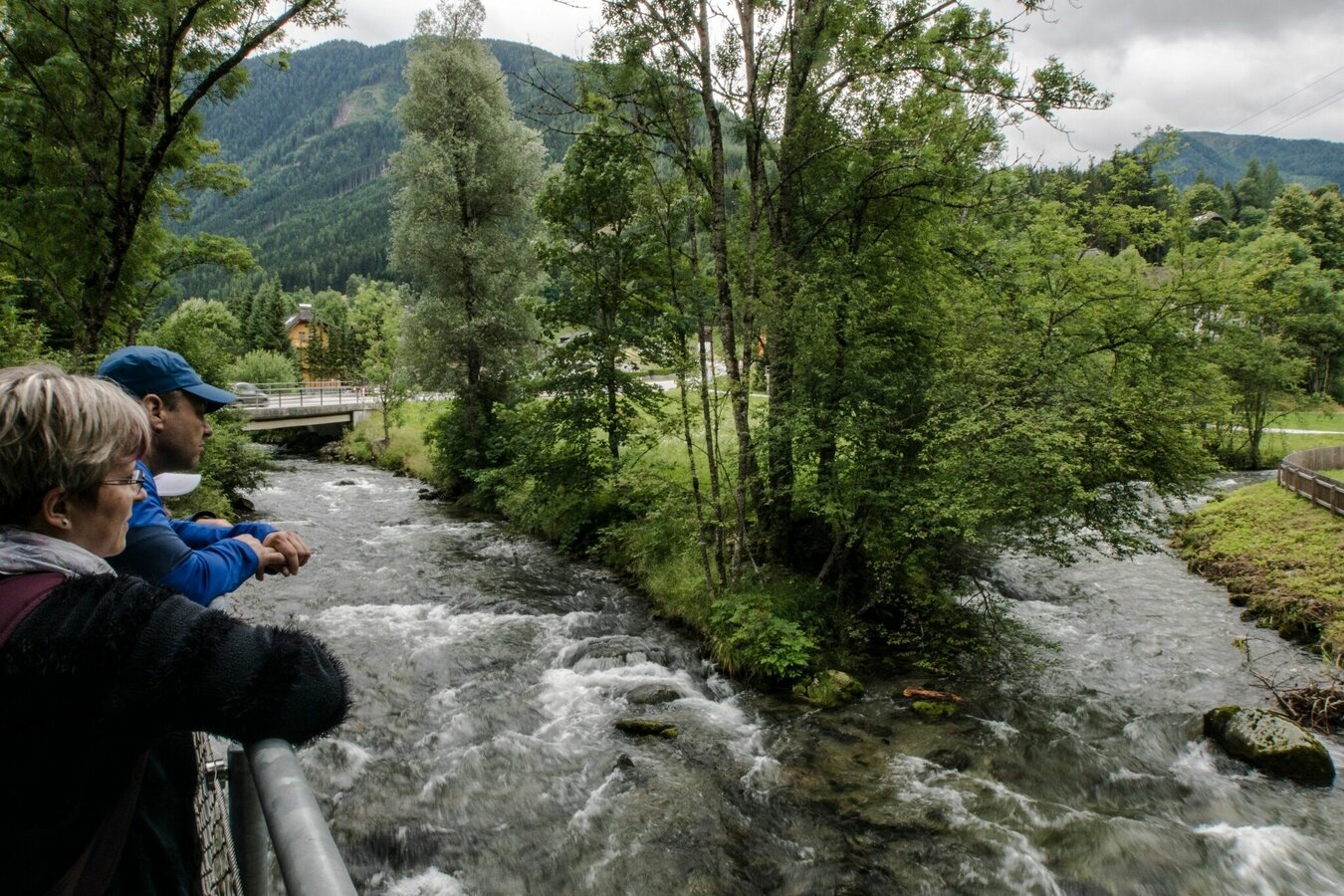
- Viewing platform in the village of Untertal
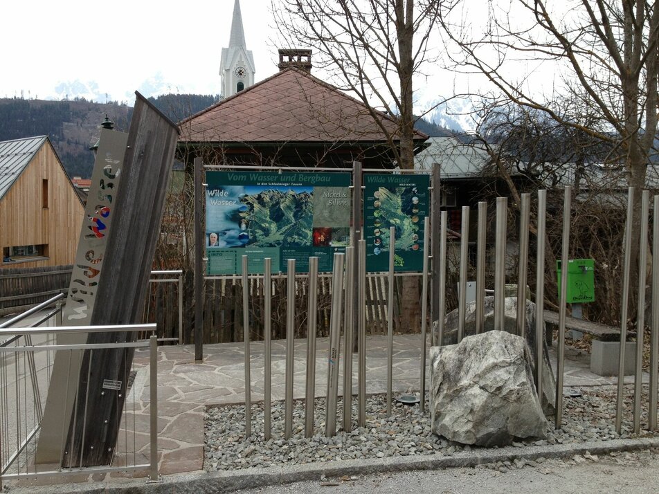
- Theme trail Wild Waters with nature conservancy Toteisboden and Tetter moor
- Steinriesental valley with Gollingwinkel cirque
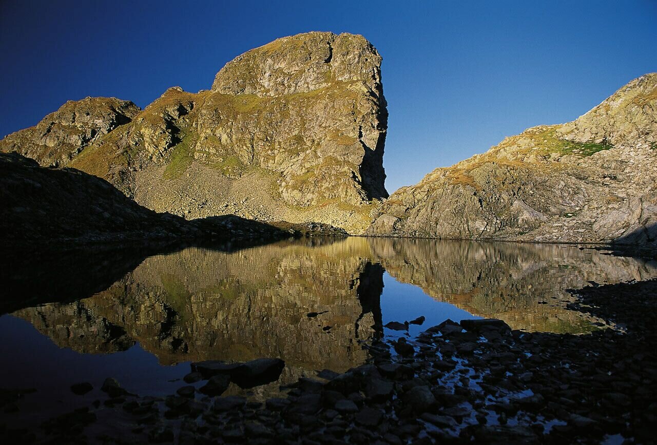
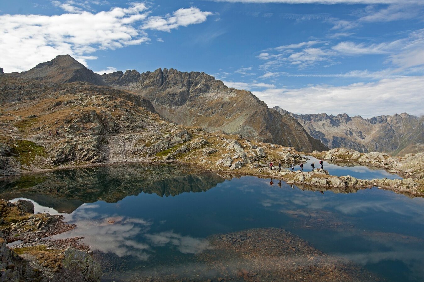
- Klafferkessel lake plateau with around 30 tarns
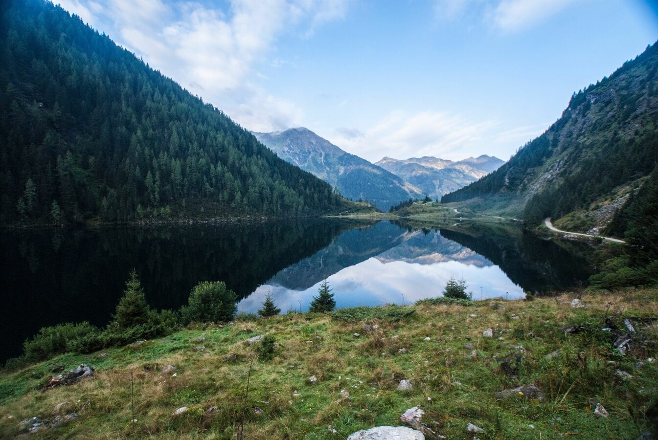
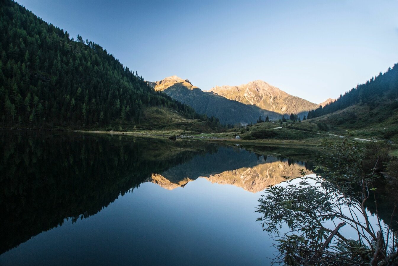
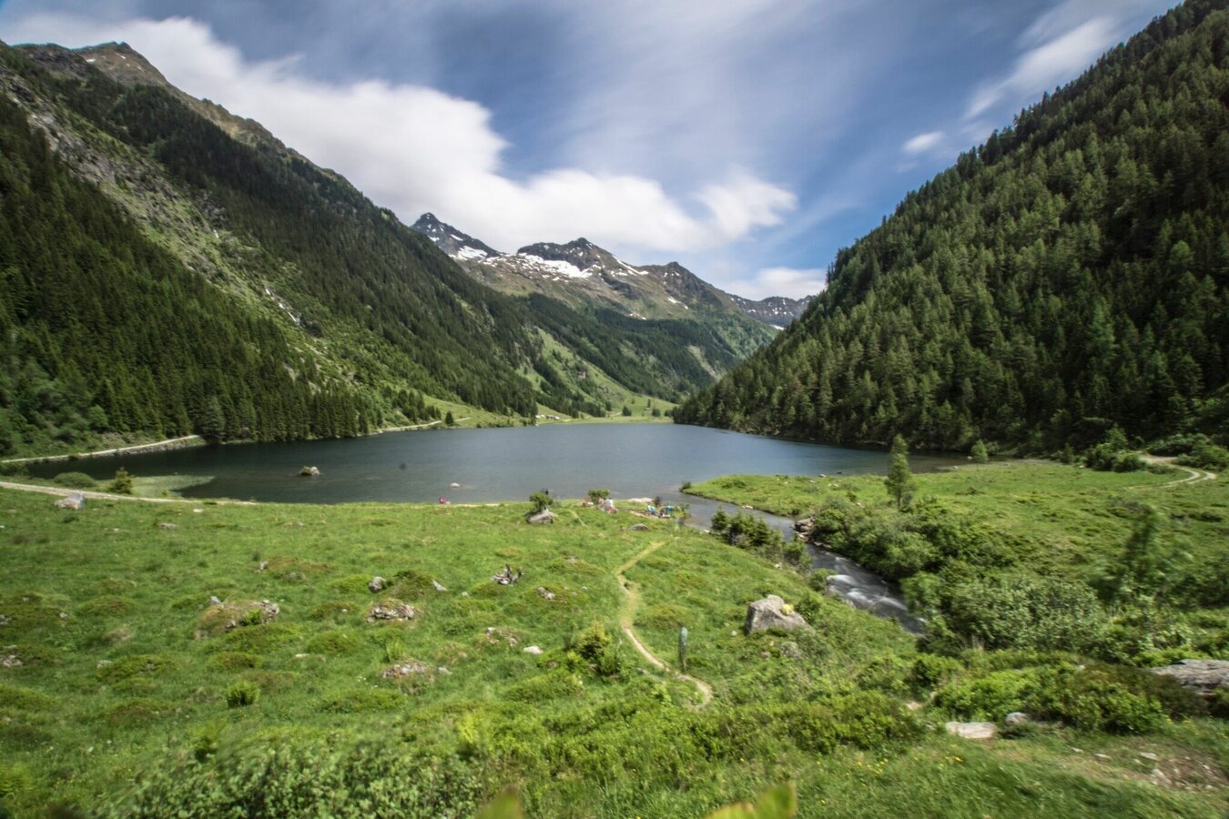
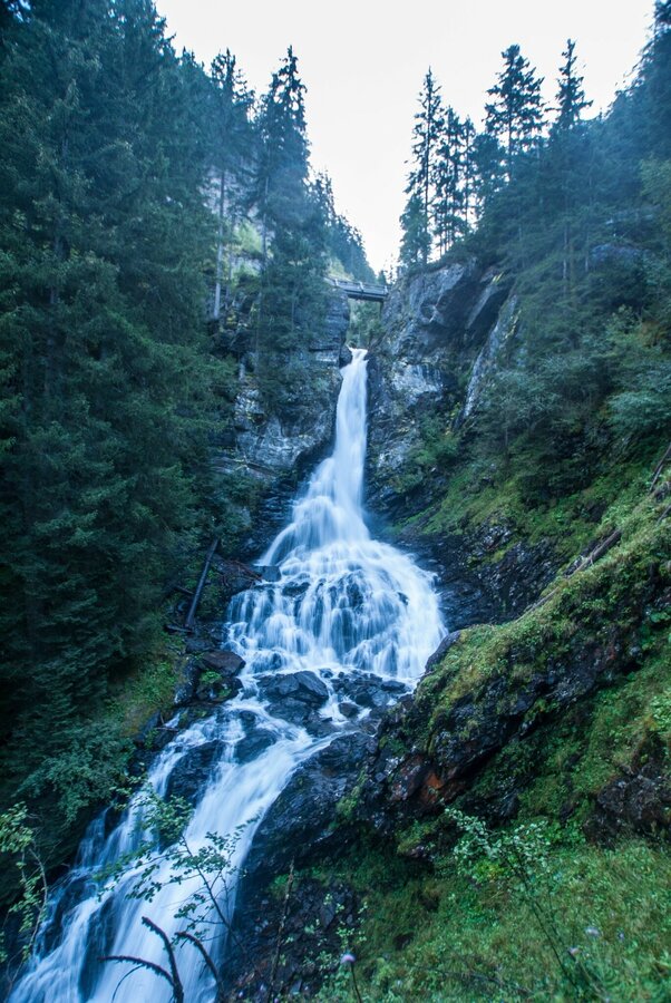
- Riesachsee Lake and Riesach waterfall
Gallery


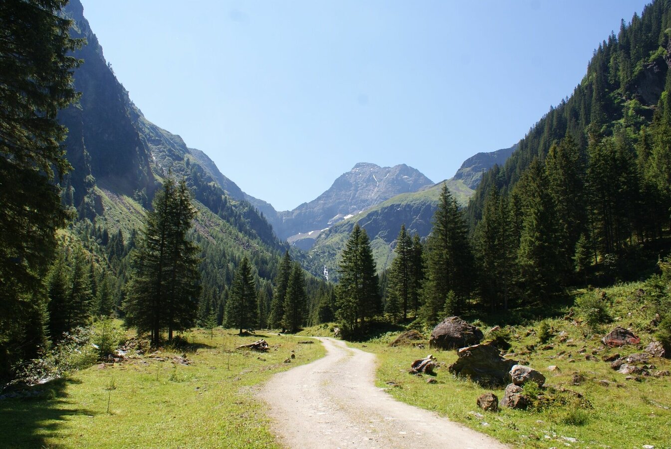
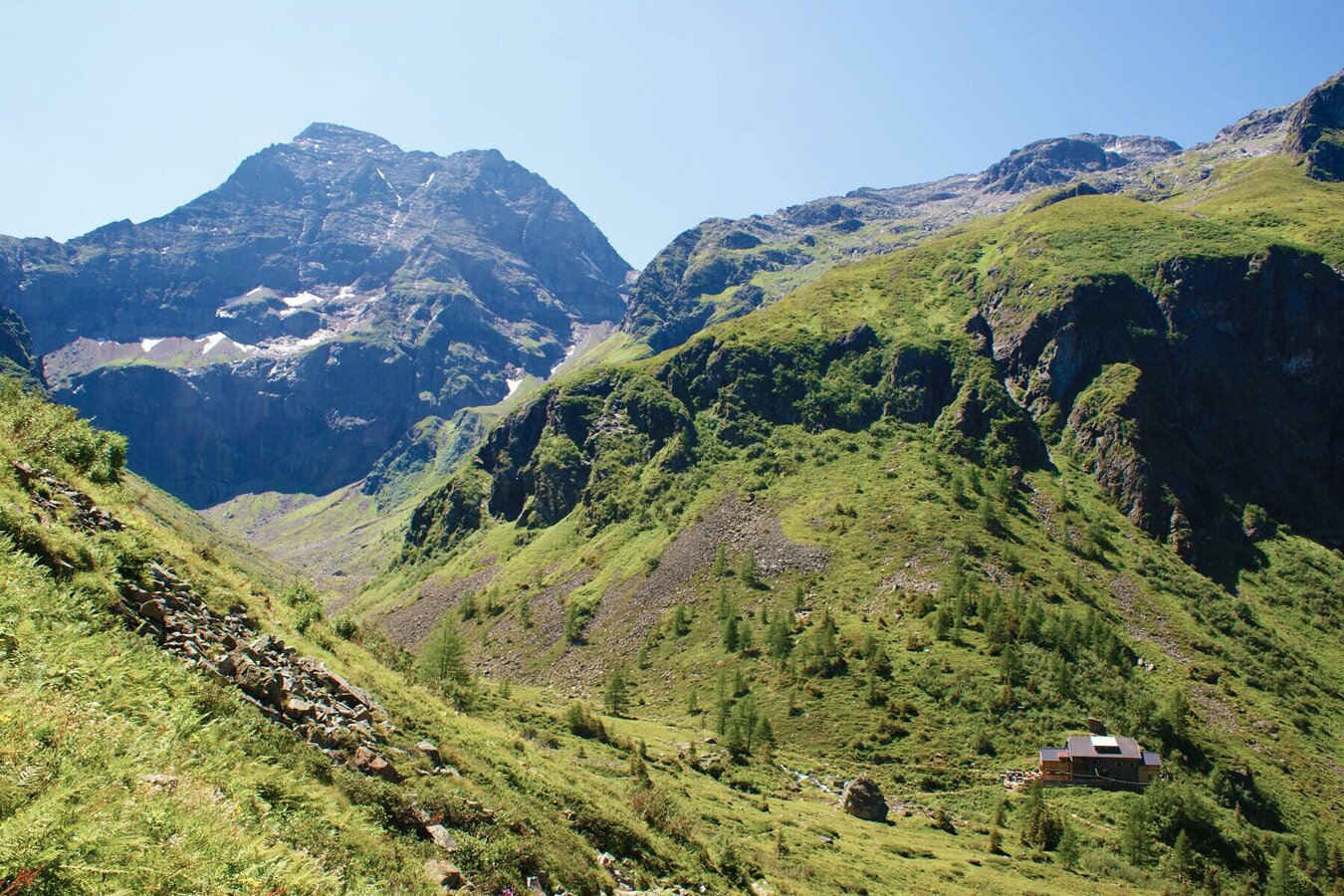

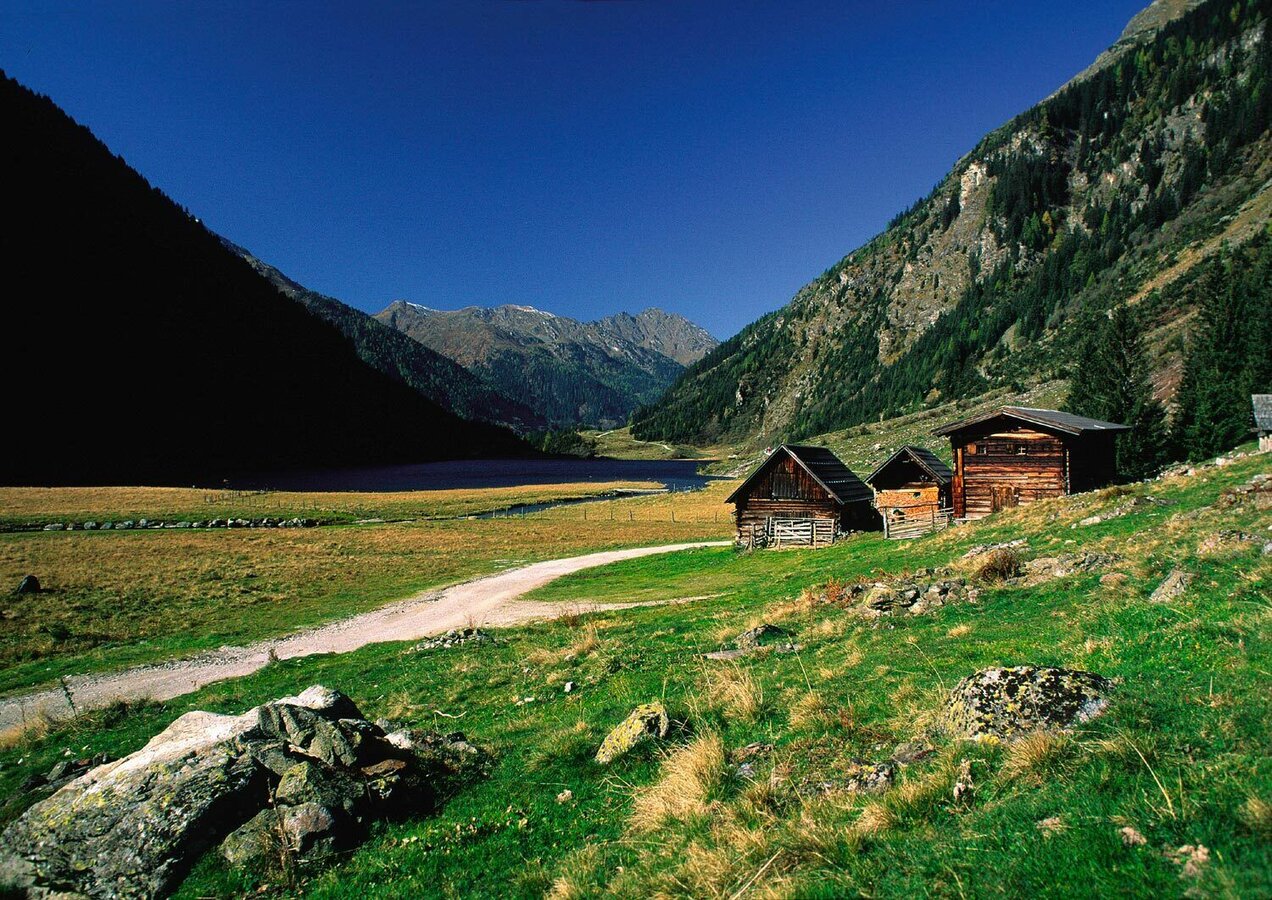


Day 1 - from Schladming to Gollinghütte chalet
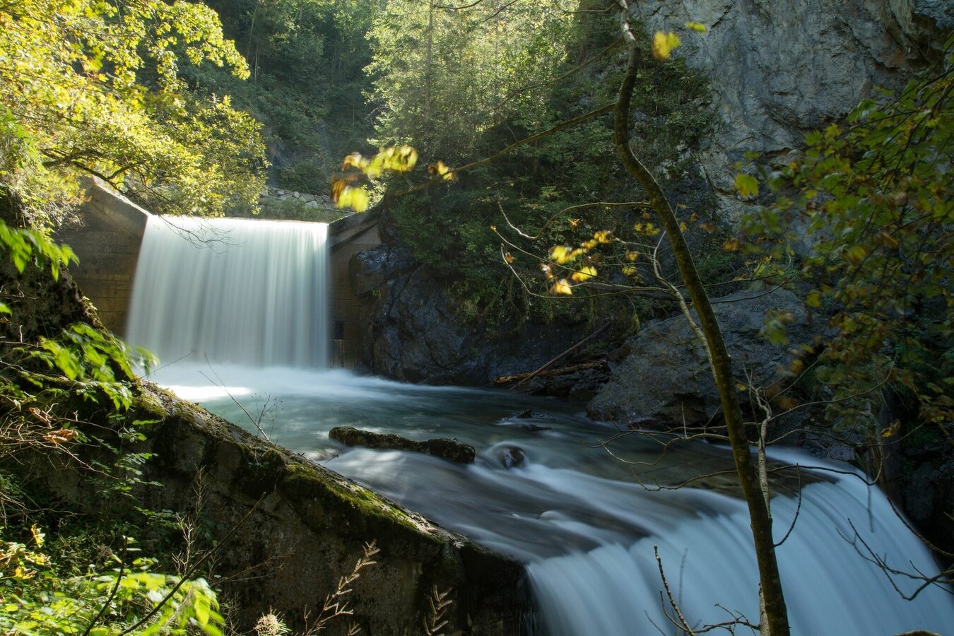
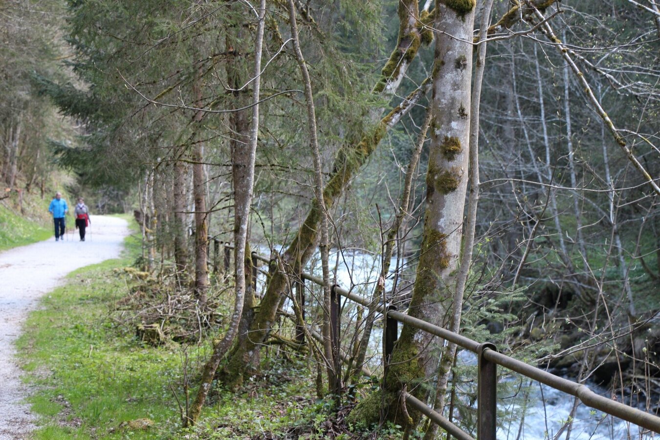
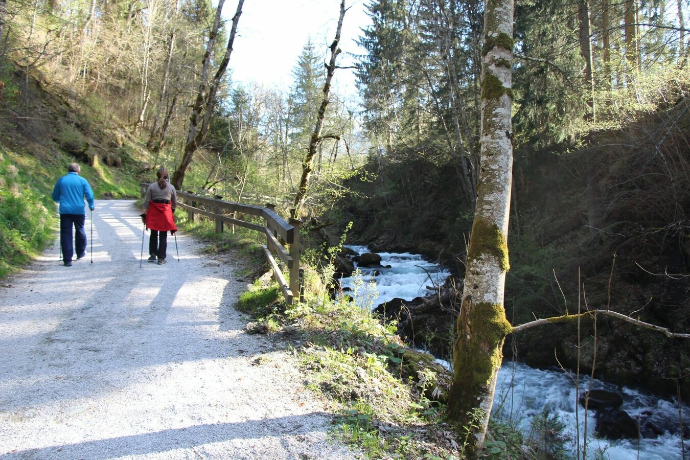
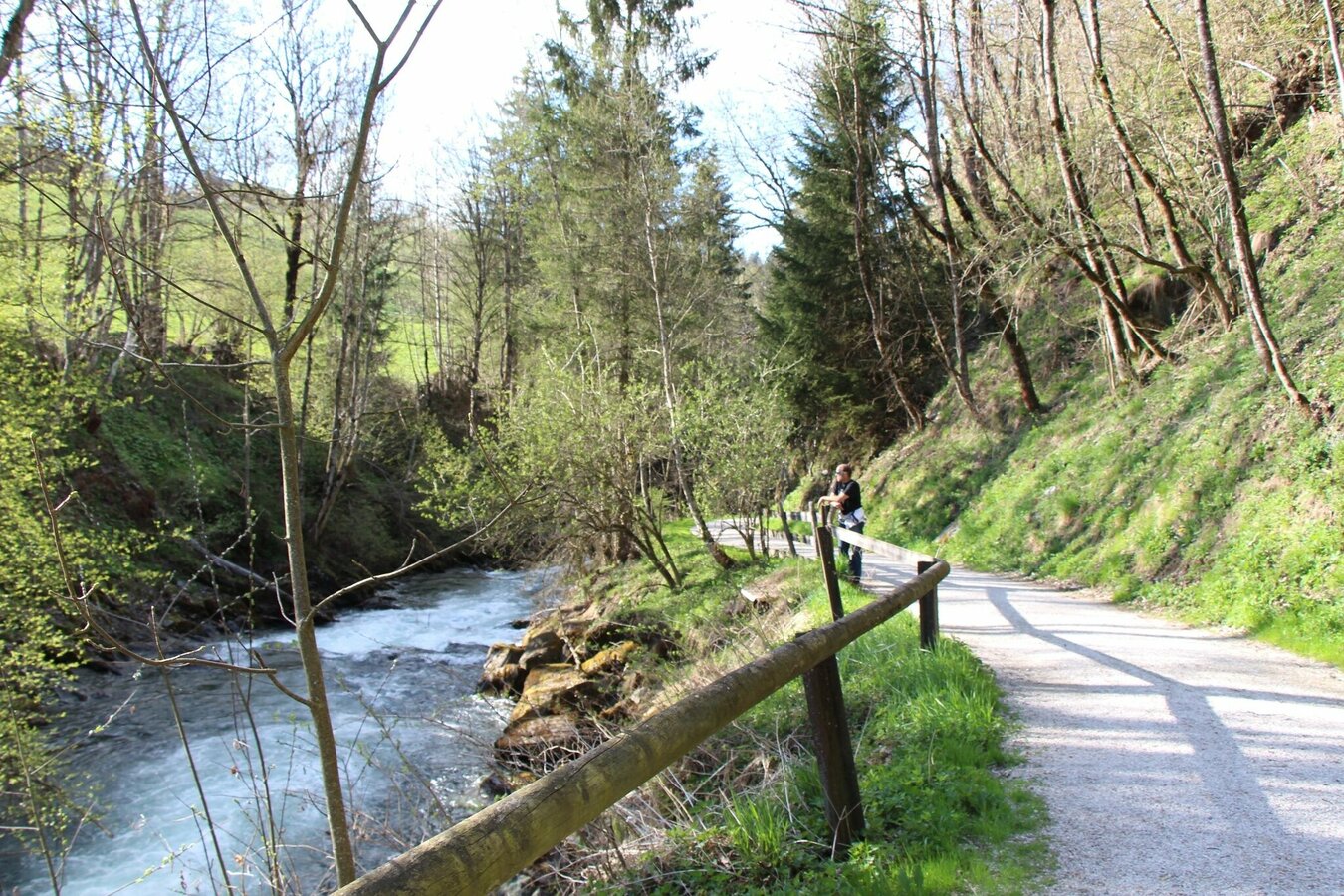
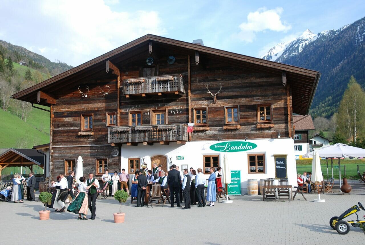
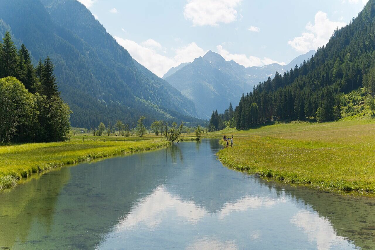
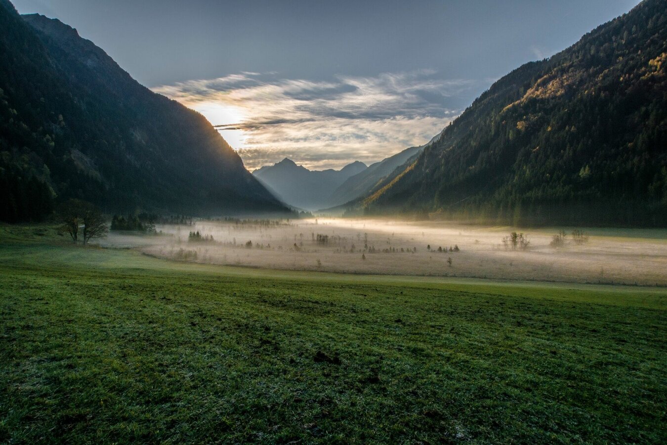
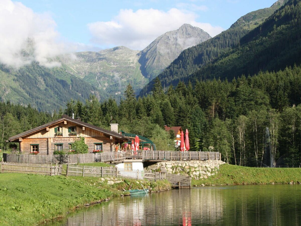
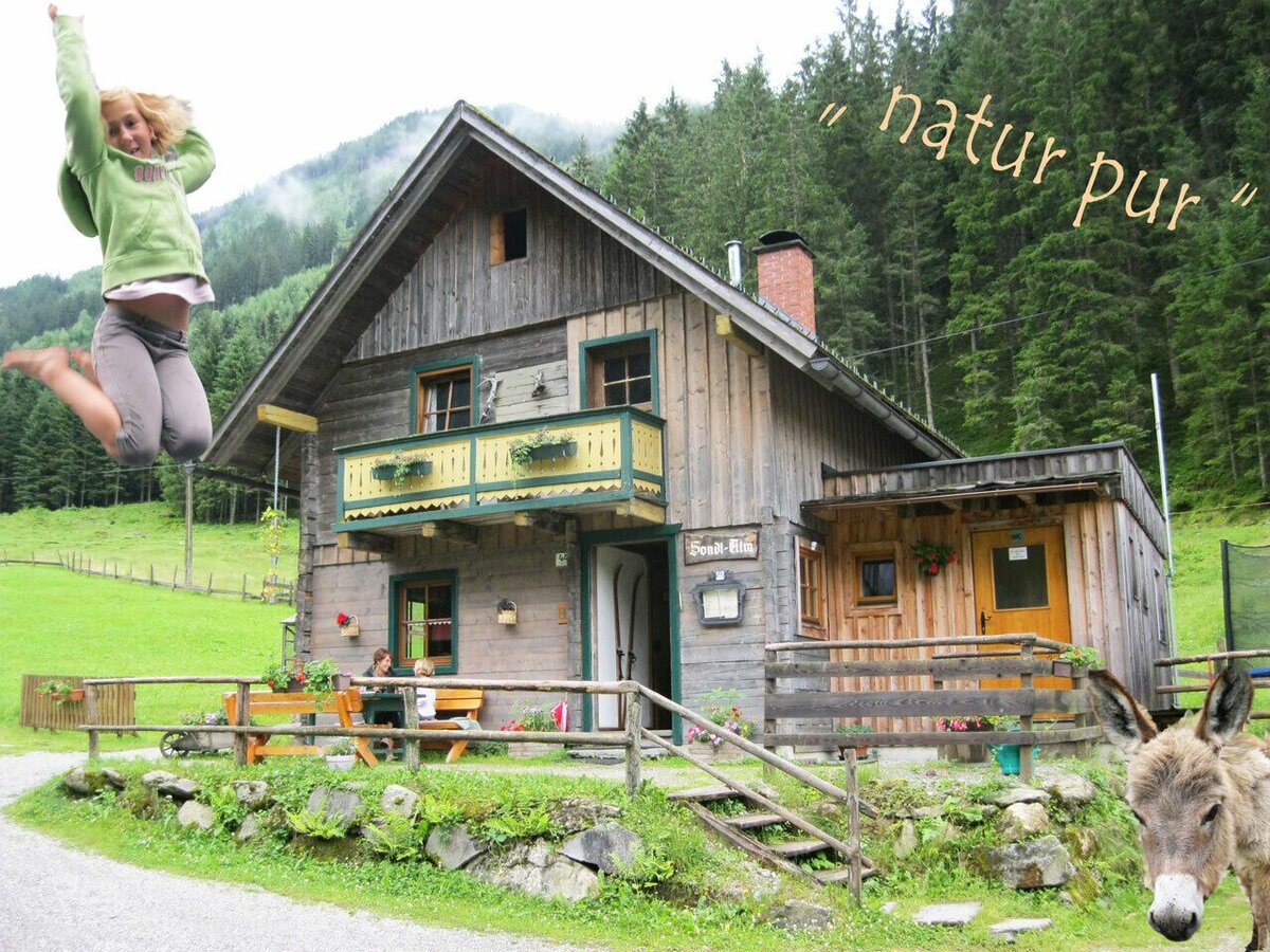
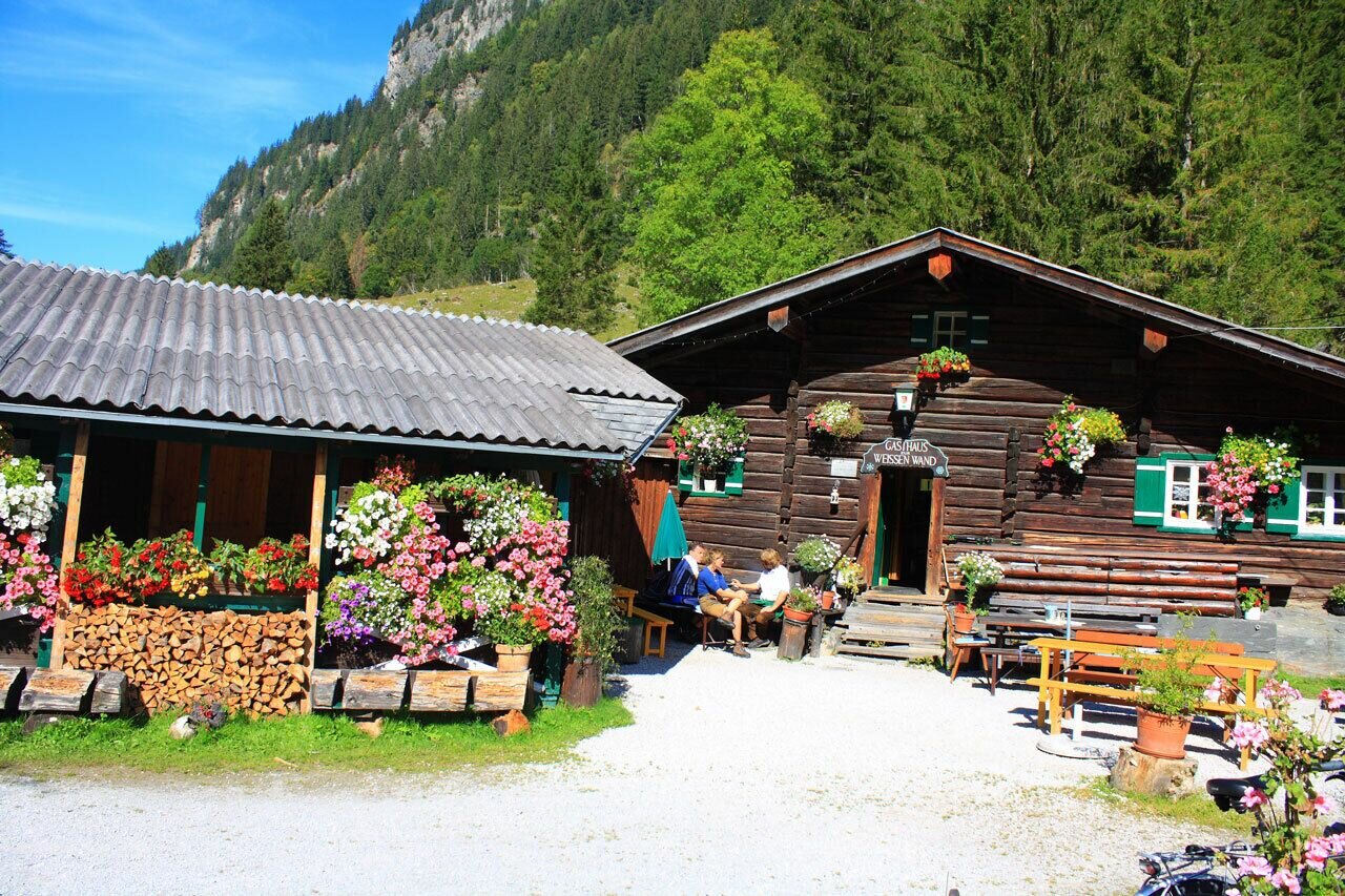
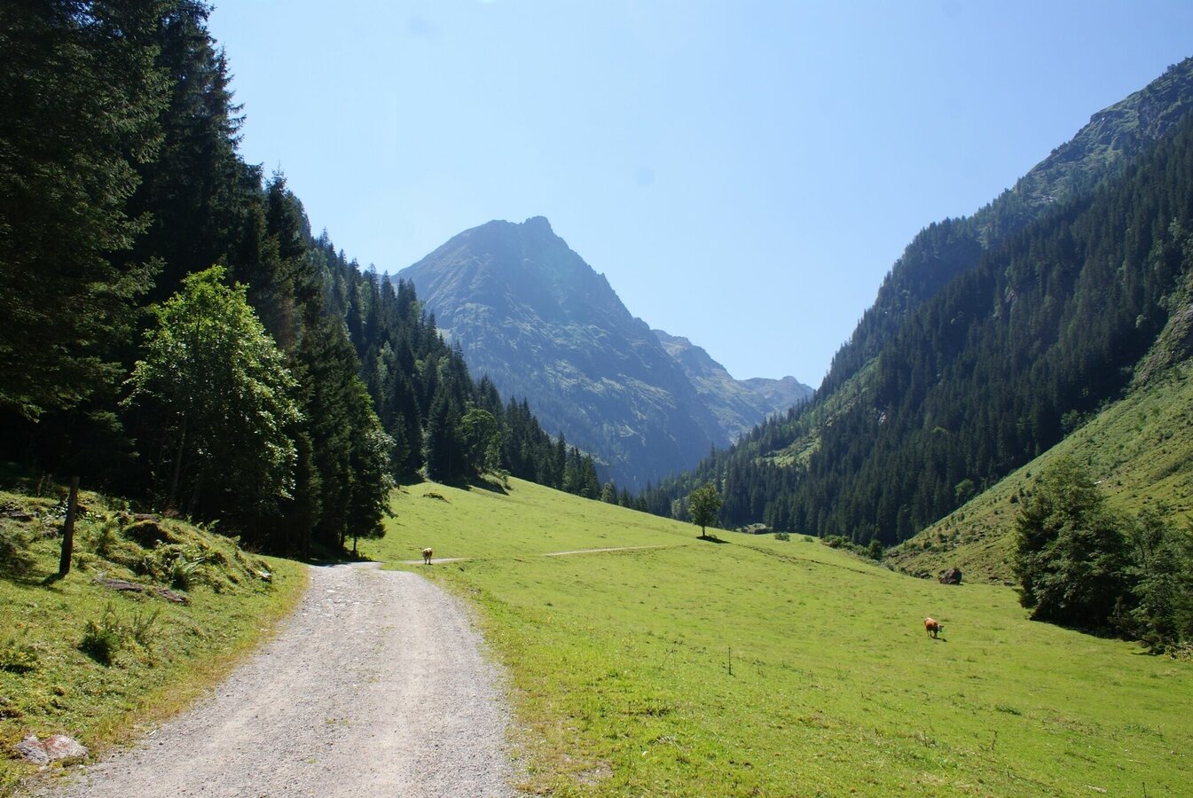
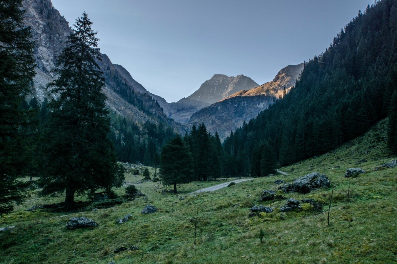
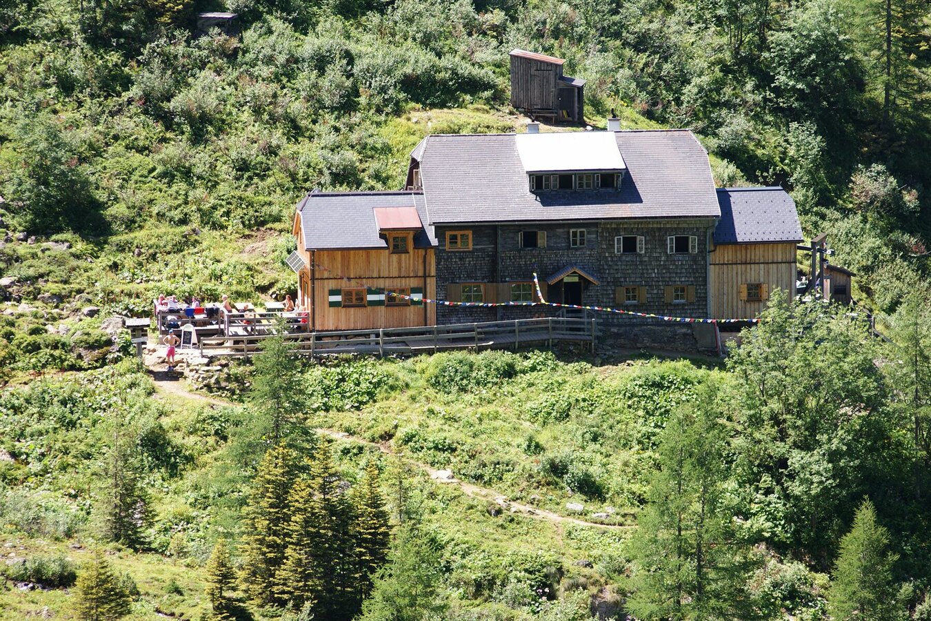
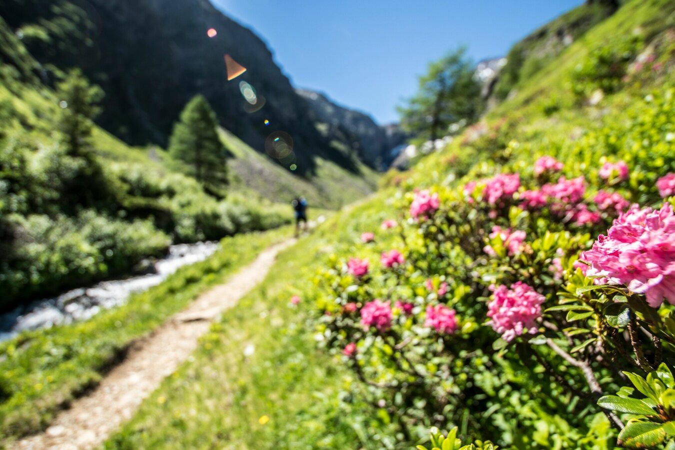
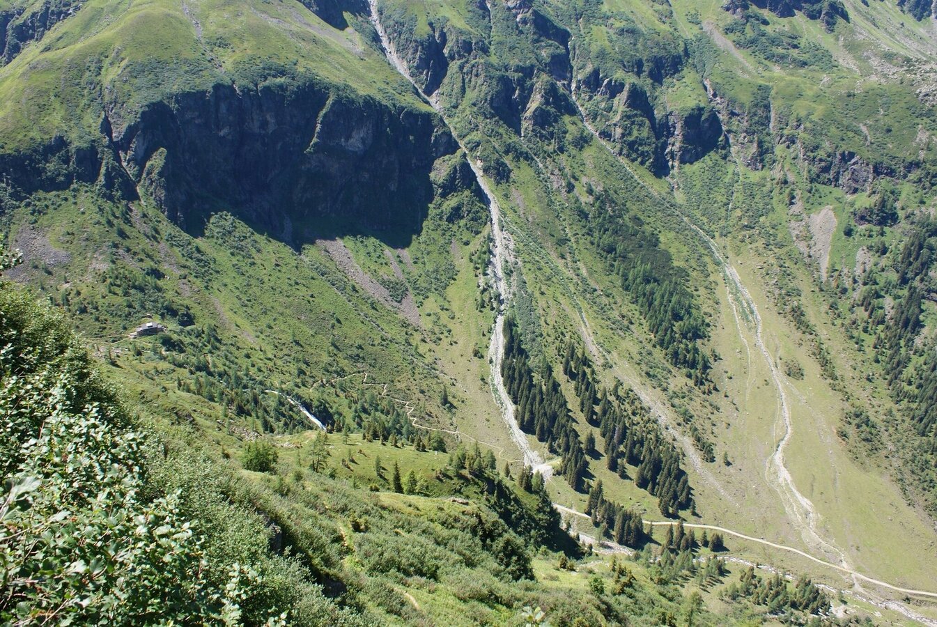
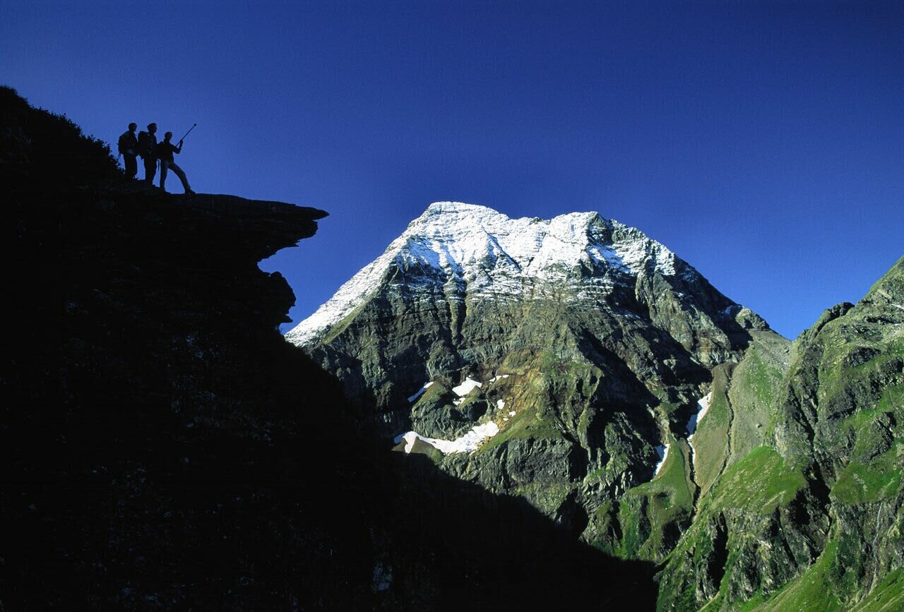
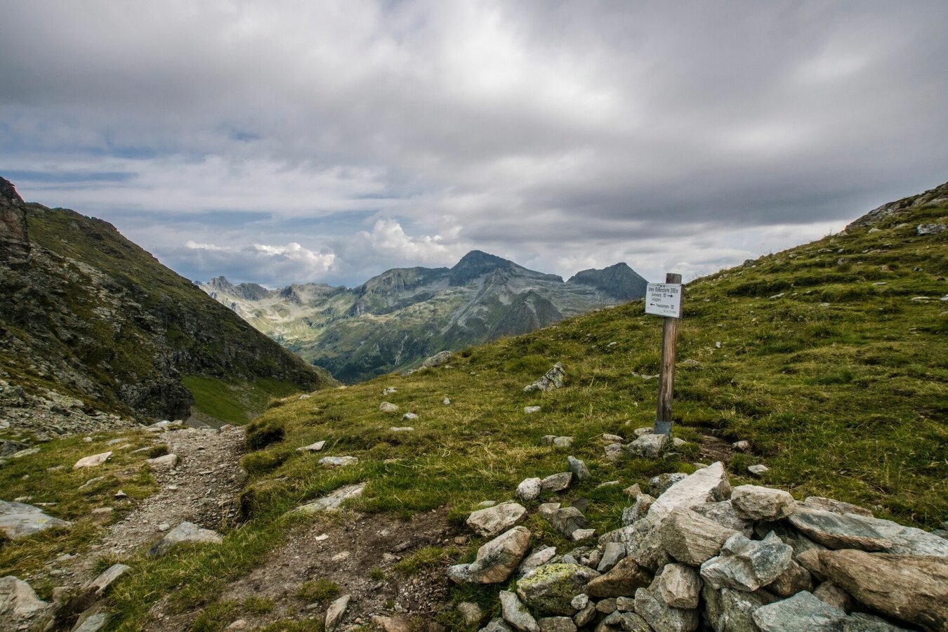
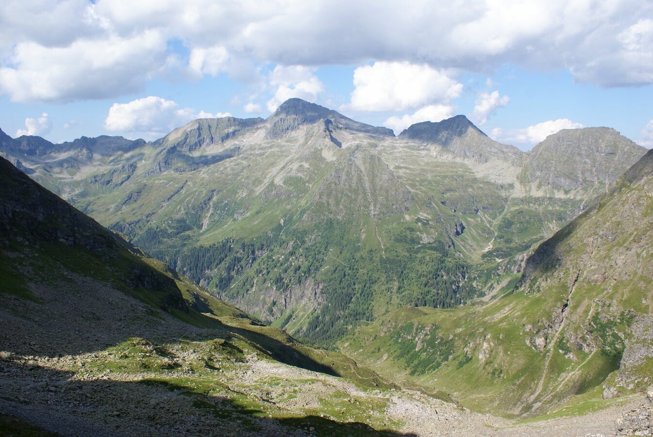
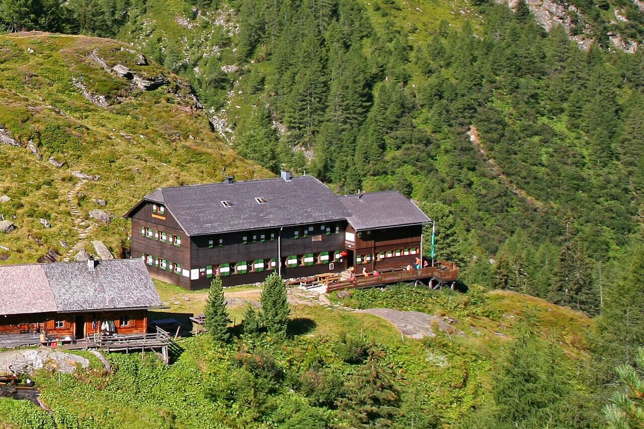
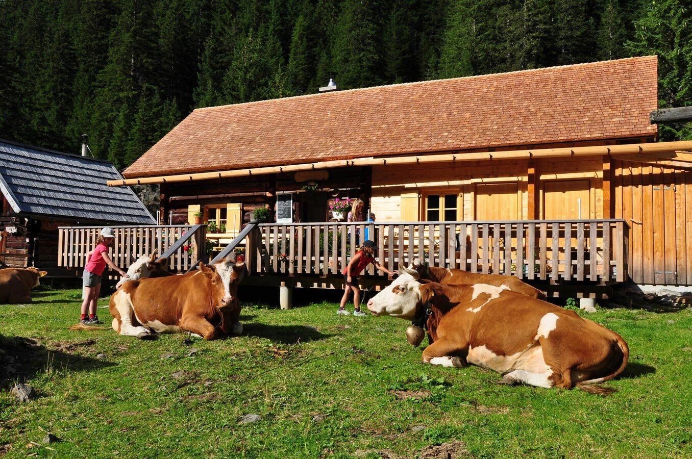
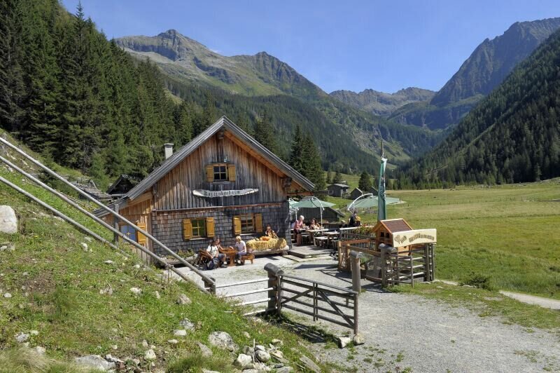
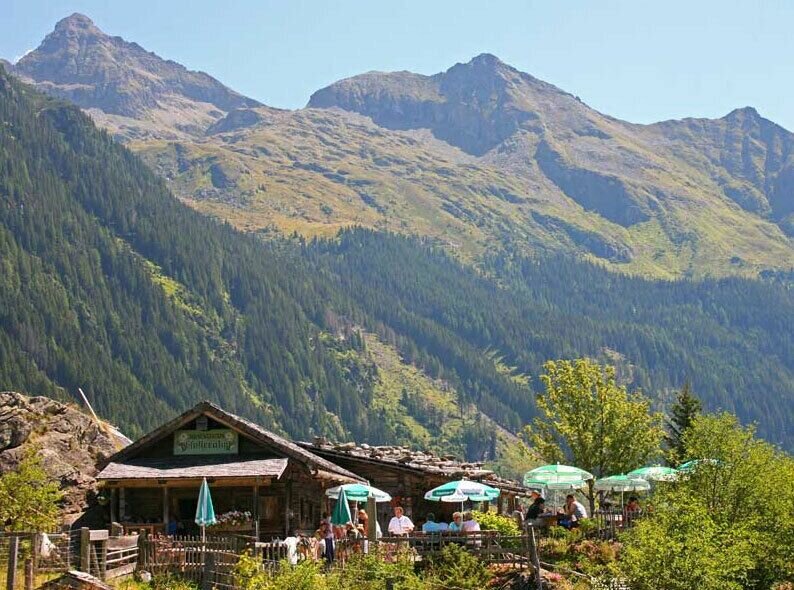
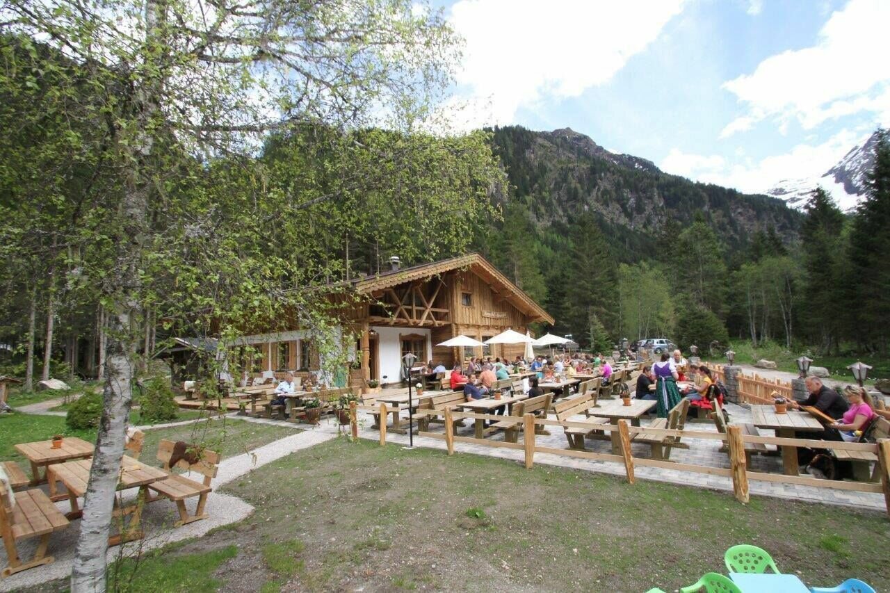
You begin this all-day hike along the theme trail "Wild Waters" in Schladming at the Kraiter car park, with your constant companion the fast, untamed torrents of the Talbach creek. Through Talbachklamm gorge you reach the village of Untertal, where things become a little gentler as you pass the fire station and take a path across gentle meadows and pass by several farms until you reach Untertalstraße road at Janerbrücke bridge. About 200 m along the road you then take off right from the street and shortly after reach the Toteisboden nature conservancy, with its natural irrigation and ventilation system dating back to the Ice Age, providing perfect conditions for this unique world of plants. Crossing lush alpine pastures, you will arrive, at Tetter moor, an area of breathing beauty and tranquility, where the Untertalbach creek meanders slowly and quietly through the moor. The next section leads you across gentle meadows and through forest alongside the crystal-clear Untertalbach – with friendly inns and alpine huts (Waldhäuslalm inn, Sondlalm inn, Gasthaus Weiße Wand inn) inviting you to take the occasional refreshment break. At Almgasthaus Riesachfall most of the tour is already done, appr. 1.5 to 2 hours further via the Steinriesental valley you reach Gollinghütte chalet. You will stay overnight here (please book a sleeping place in advance, phone: +43 676 53 36 288). From Gollinghütte you can make a nice stroll to "Gollingwinkel" in the evening. This amphitheatre-like place at the foot of Hochgolling's North face is truly special.
Day 2 - To Riesachsee Lake via Klafferkessel
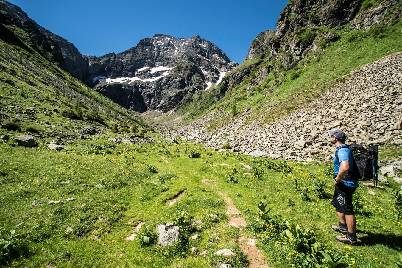
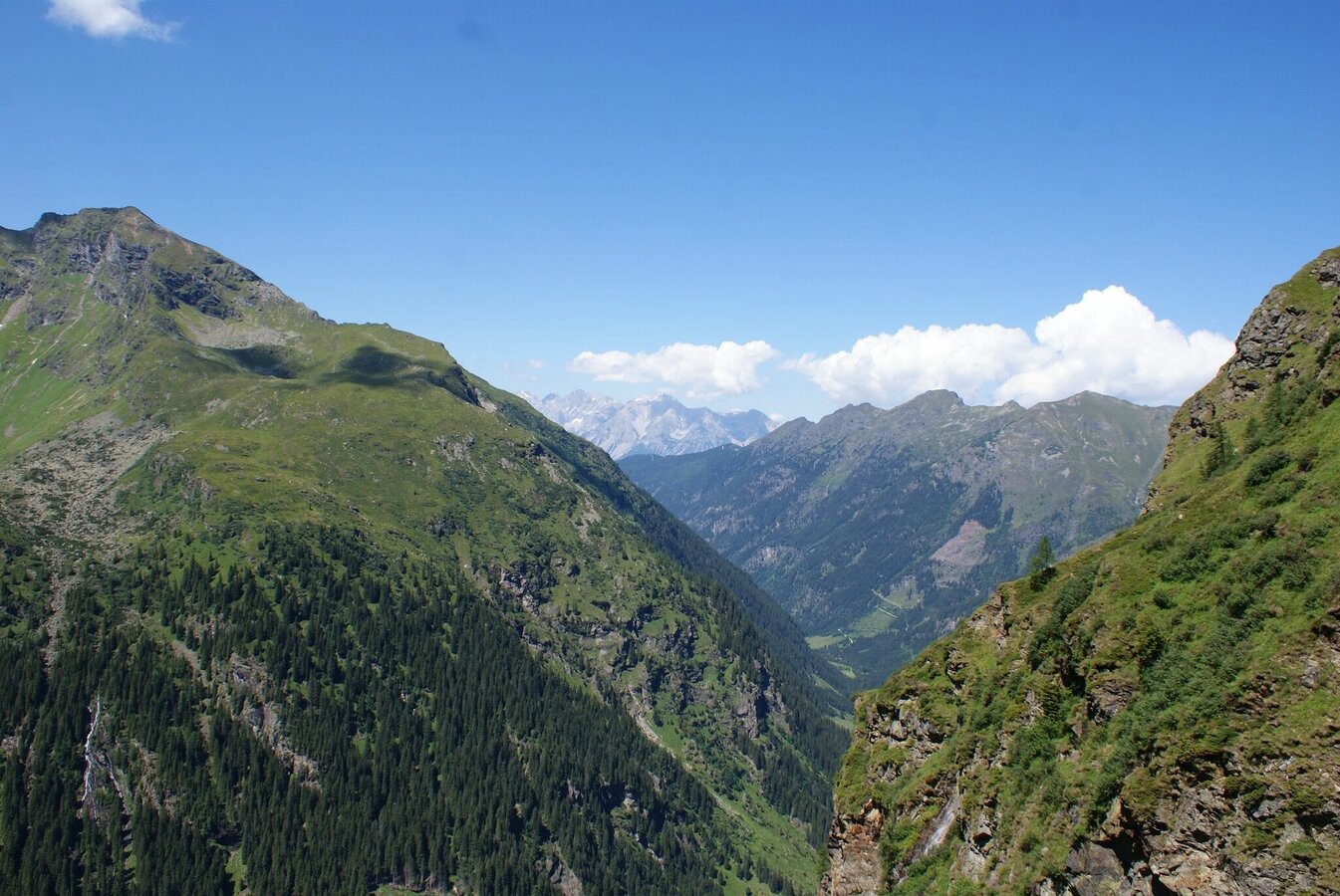
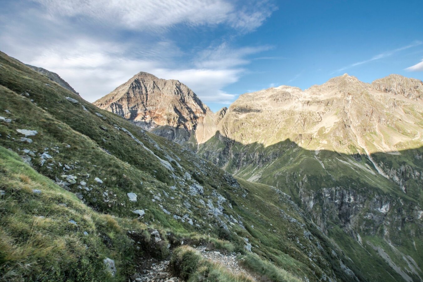
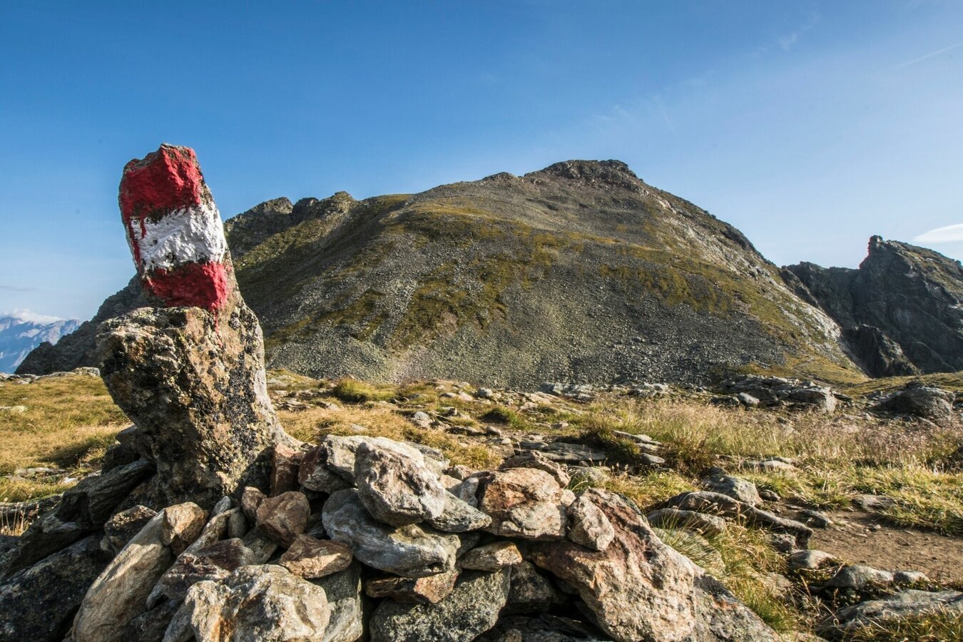
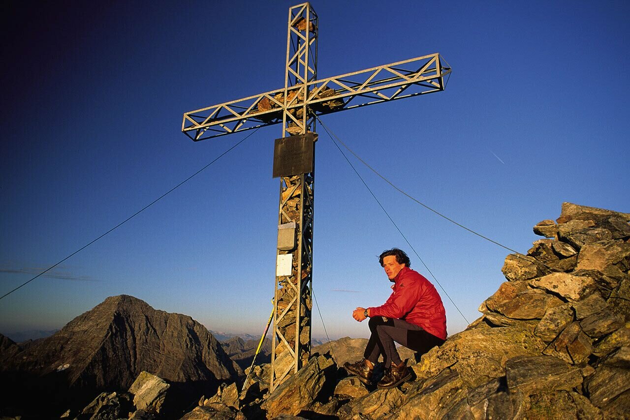
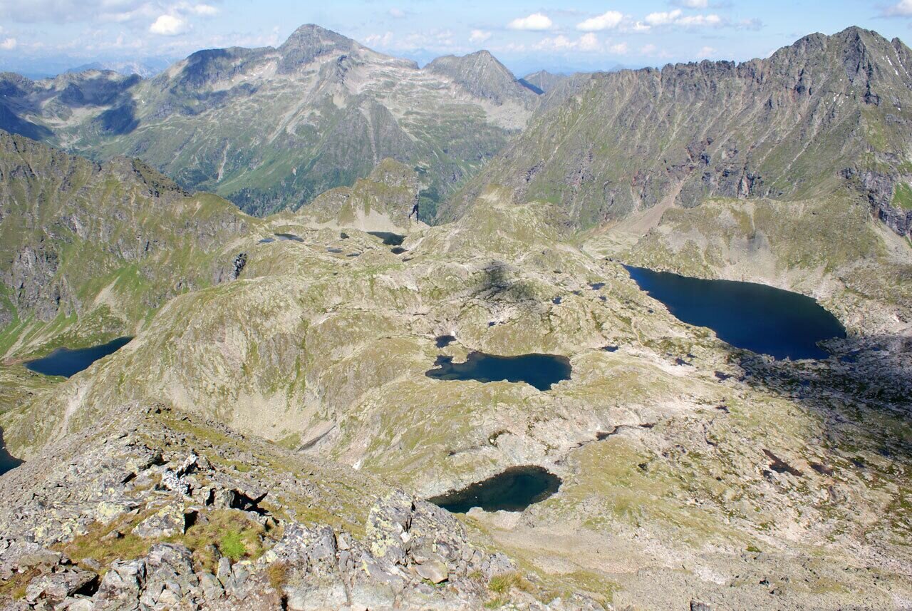
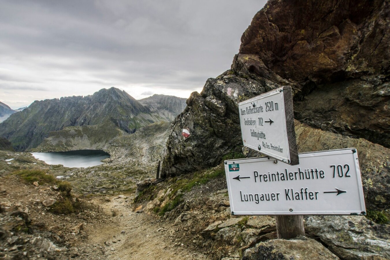
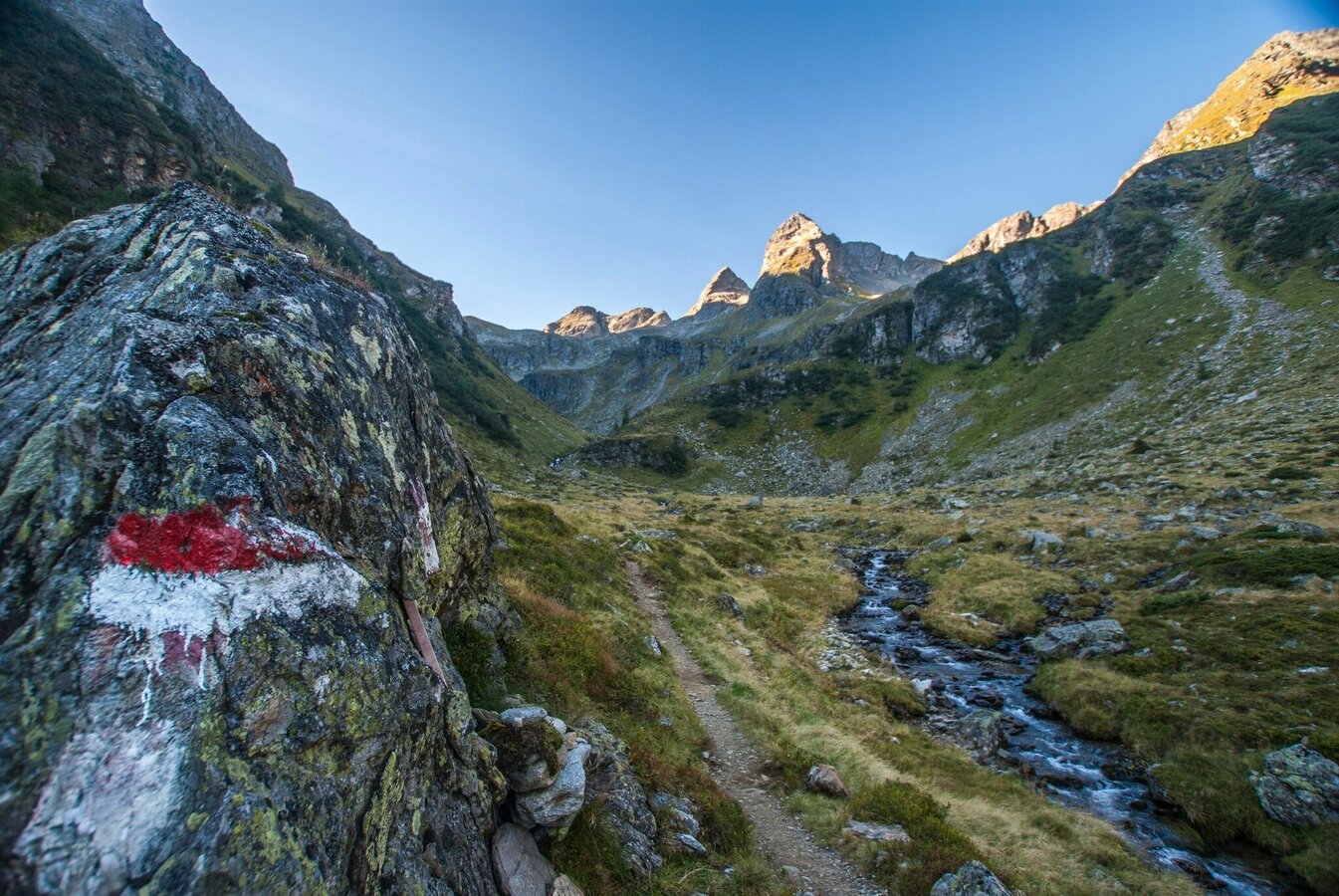
After having a proper breakfast you start the second day of the tour. From the Gollinghütte the path leads through many switchbacks ascending across rocky outcroppings, to Greifenbergsattel mountain saddle. A small tarn, with the Hochgolling in the background, is a first imposing sight. The subsequent ascent takes you across tiered fields of scree to the summit of Greifenberg (2,618 m). Dominating and framing the Klafferkessel, the dark-green, clearly segmented flanks of the Waldhorn tower skywards, before which bigger and smaller tarns at different elevations are beautifully iridescent mid the mossy green. Further to the east, you see the pyramid formed by the Hochwildstelle summit and beneath it the green slopes of the "Himmelreich". From the summit, you initially make your way across rough terrain (trail No.702 - short section secured by a calbe) in the area of the Obere Klafferscharte ridge, following a series of steep switchbacks down into the basin.
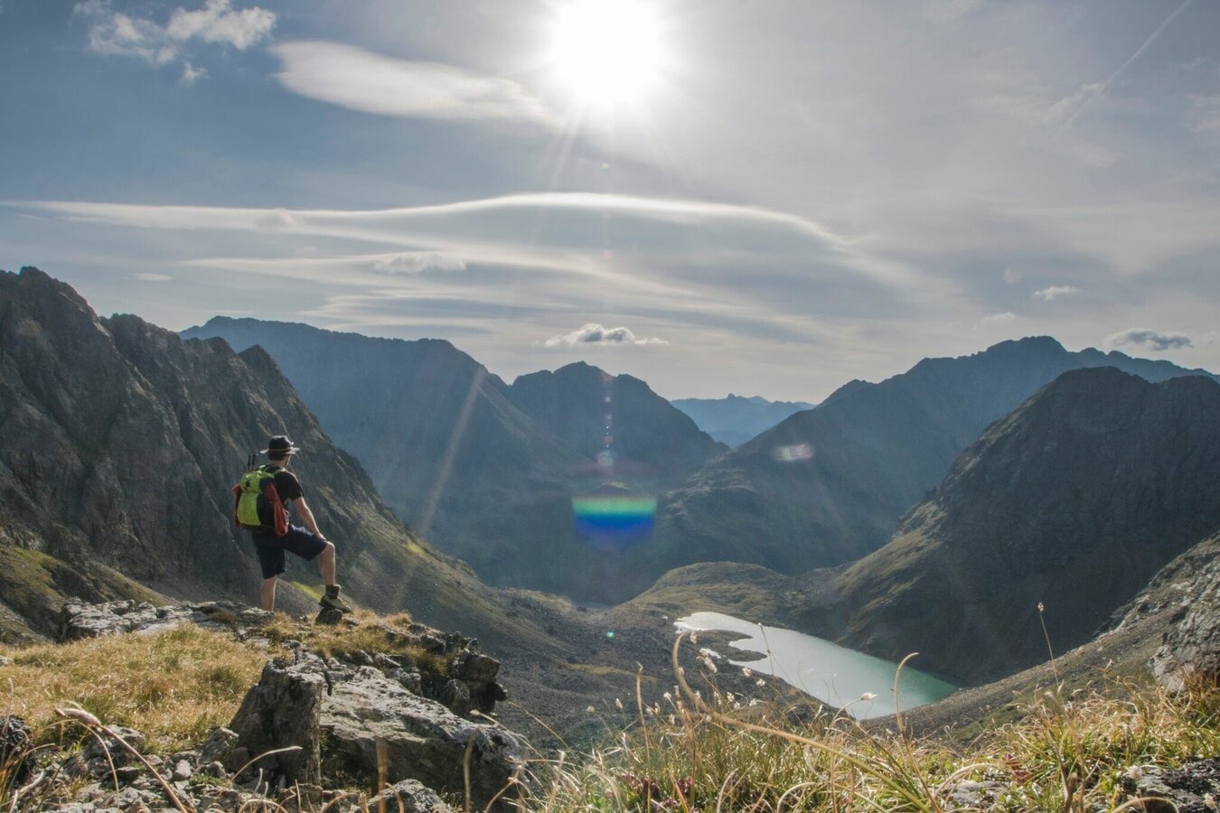
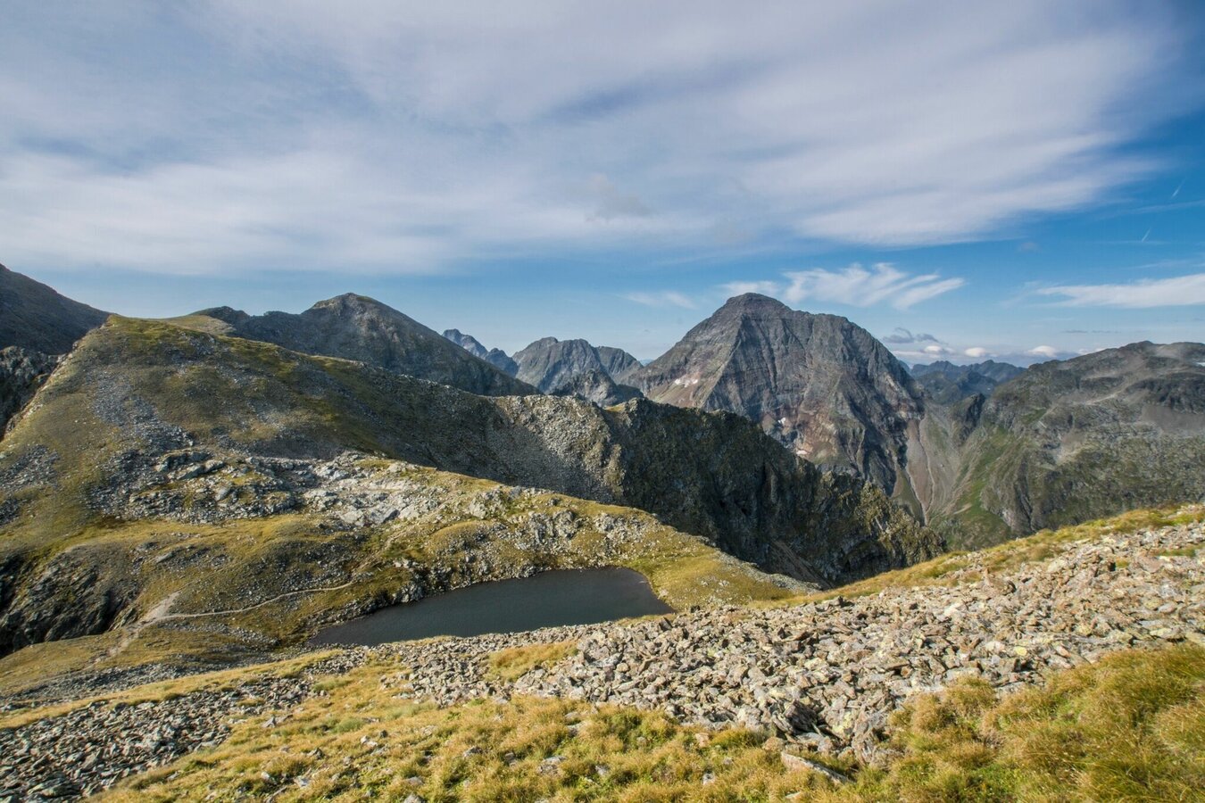
Until well into summer, many of the lakes are still covered by ice. Mosses and lichen, in combination with the lakes and the wild, rugged scenery, awaken impressions of a primordial landscape. In the Klafferkessel, you make your way gently downhill until you reach the striking rock edifice that is the Greifenstein. where you then leave the Klafferkessel.
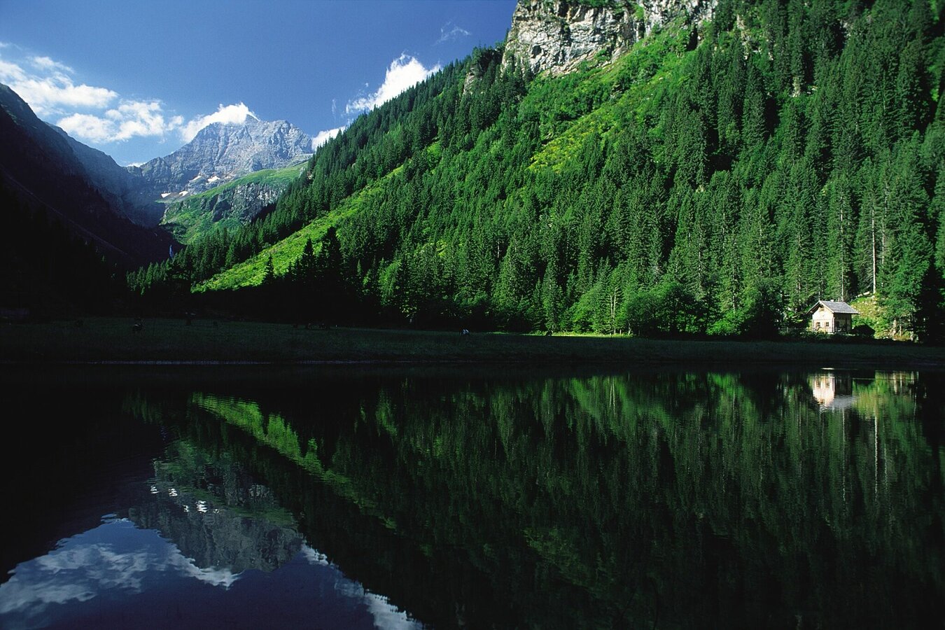
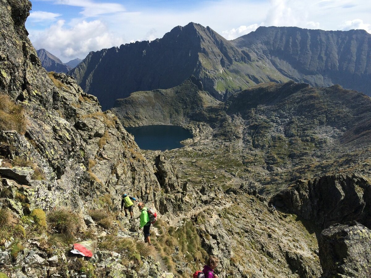
Your hike then continues over a number of ridges, dropping steeply to the Lämmerkare cirques and across a hillside meadow to the Preintalerhütte and Waldhornalm chalets at 1,657 meters above sea level. The descent to Berallerhütte chalet at Kotalm is at first even steeper still, but then generally flat to Kaltenbachalm chalet at Riesachsee Lake and Gfölleralm chalet. The last descent of this beautiful tour takes you past the talles waterfall of Styria - the Riesach waterfall. Once you reach Almgasthaus Riesachfall you return to Schladming by bus to the bus station "Lendplatz". (bus time table: www.planaibus.at).
- Citybus and buses from Rohrmoos - www.planaibus.at
- Buses from Ramsau - www.rvb.at
From car park Seeleiten/Almgasthaus Riesachfall in Untertal take the bus of the Planai-Hochwurzen Bahn for the return journey to Schladming - www.planaibus.at.
Surefootedness, alpine experience and good constitution required.
Changes in weather patterns, quick falls in temperature, thunderstorms, wind, fog and snow are some of the dangers that can be encountered on a hiking tour. Hosts of alpine huts and mountain refuges have a lot of experience in the mountains and can give good advice about weather and the trails. Poor equipment, overestimation of one's own capabilities, carelessness, poor personal constitution and/or wrong judgement can lead to critical situations. In case of thunderstorms: avoid summits, ridges and steel ropes.
GPS data and orienteering
Available GPS data - just like hiking maps - is only a guidance for orientation and can never depict a trail exactly with all its details. Especially at dangerous spots it is essential to judge on site how to proceed.
In an emergency please call:
- 140 - for Alpine emergencies (all over Austria)
- 112 - European GSM emergency number
A well-packed backpack is helpful and especially when touring Alpine terrain a tuque, gloves, a windproof jacket and pants are standard equipment. Good, waterproof shoes, sun glasses, sun cream and sufficient beverages are essential too. Torch light, a map of the area, knie and a small first-aid kit should also be in the backpack.
For the night please bring a sleeping bag with you, which is required on the huts.
Information about bus schedules: www.planaibus.at
Information about "Wild Waters": www.wildewasser.com
360° drone images
Get yourself an overview with our 360° drone images:
- View of the lower part of Talbachklamm gorge: https://vonoben.schladming-dachstein.at/sommer/index.php?S=58
- View over Klafferkessel: https://vonoben.schladming-dachstein.at/sommer/index.php?S=315
- View into Lämmerkare cirques: https://vonoben.schladming-dachstein.at/sommer/index.php?S=316
- Descent from Preintalerhütte: https://vonoben.schladming-dachstein.at/sommer/index.php?S=317
- View over Riesachsee Lake: https://vonoben.schladming-dachstein.at/sommer/index.php?S=318
- Hiking map Schladming, 1:25.000, available at the tourist office Schladming.
- Hiking map Schladming-Dachstein, 1:50.000, available at the tourist office Schladming.
- Magazine "Wild Waters", available at the tourist office Schladming.


