
Steinitzenalm - Hallstatt | Dachstein Circular Hiking Trail: Stage 06
easy closed Multi-day tours
Hint:
Due to necessary work on the railway system, the Koppental hiking trail from Bad Aussee station to the Koppental hut is not accessible from Monday to Friday in the period from 22.07.-14.08.2019. The detour leads from Bad Aussee railway station via the Koppentalstraße and the cycle path to the Koppental refuge and is signposted. The hiking trail is open on weekends.
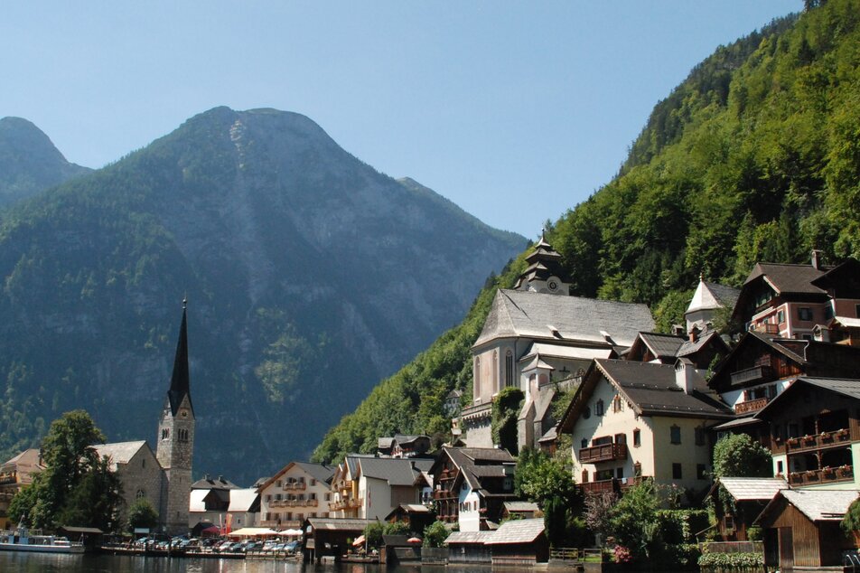
On this stage the trail descends steadily along a river, the Traun, to Lake Hallstatt. We cross the lake by ferry and reach our destination: Hallstatt.
Further information and offers for "Hiking without luggage
Gallery
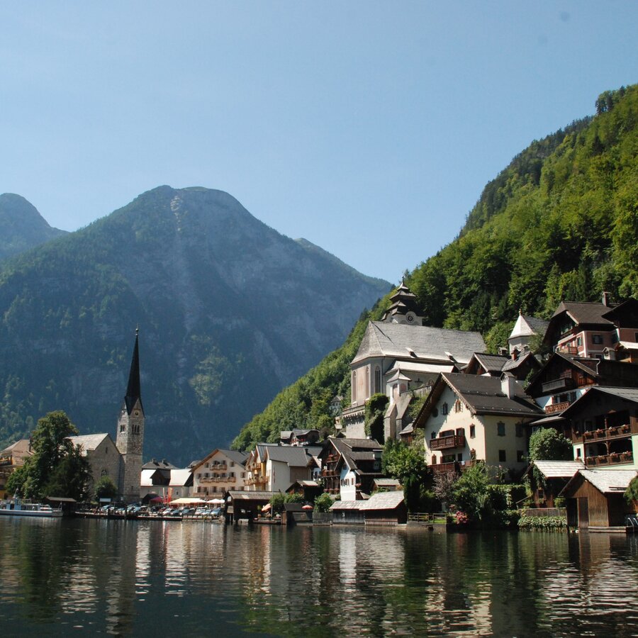

On the sixth day of our tour we start from the Steinitzenalm and pass the snack station Stieger. We follow the signs to "Strumern", as the karts springs in the forest are called. We walk on flat paths to the Ödensee and then along the Traun along path no. 17 to Bad Aussee. Here we walk along the railway line and follow the forest path. We cross a suspension bridge and from now on continue along the banks of the Koppentraun, through a water cave and over the Obertrauner Höhenweg to Obertraun. Here we walk along the lake to Hallstatt railway station and there we cross the lake by boat to Hallstatt - our destination for today.
sturdy shoes, rainproof clothing, rucksack, sufficient provisions, sleeping bag if necessary


